Simple Google Earth - Meshtastic integration
While we are thinking about the wildfire fighting process using Meshtastic and working with the wildfire fighters to understand their needs, one of the things that came up was that they use Google Earth for everything. They have their data there, they are already using it and know how to use it.
So one experiment that I thought would be good was to try to get the node information into Google Earth. I researched and the way it could be done was similar to how Firm shares the FIRMS data that they detect using remote sensing. And this is by using KML link, a feature of KMLs that allows to refer to a remote KML and ask Google Earth to update that KML regularly.
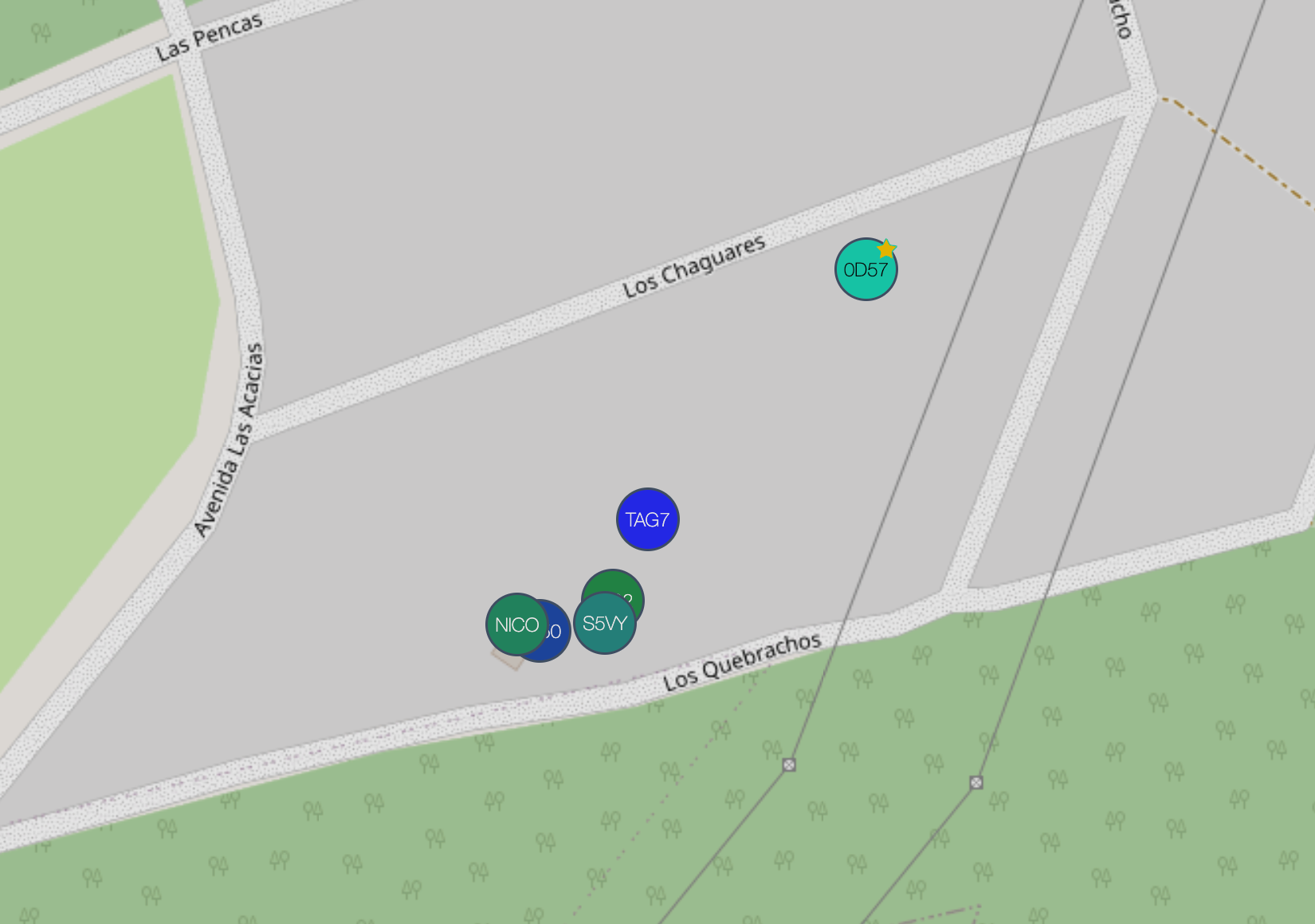
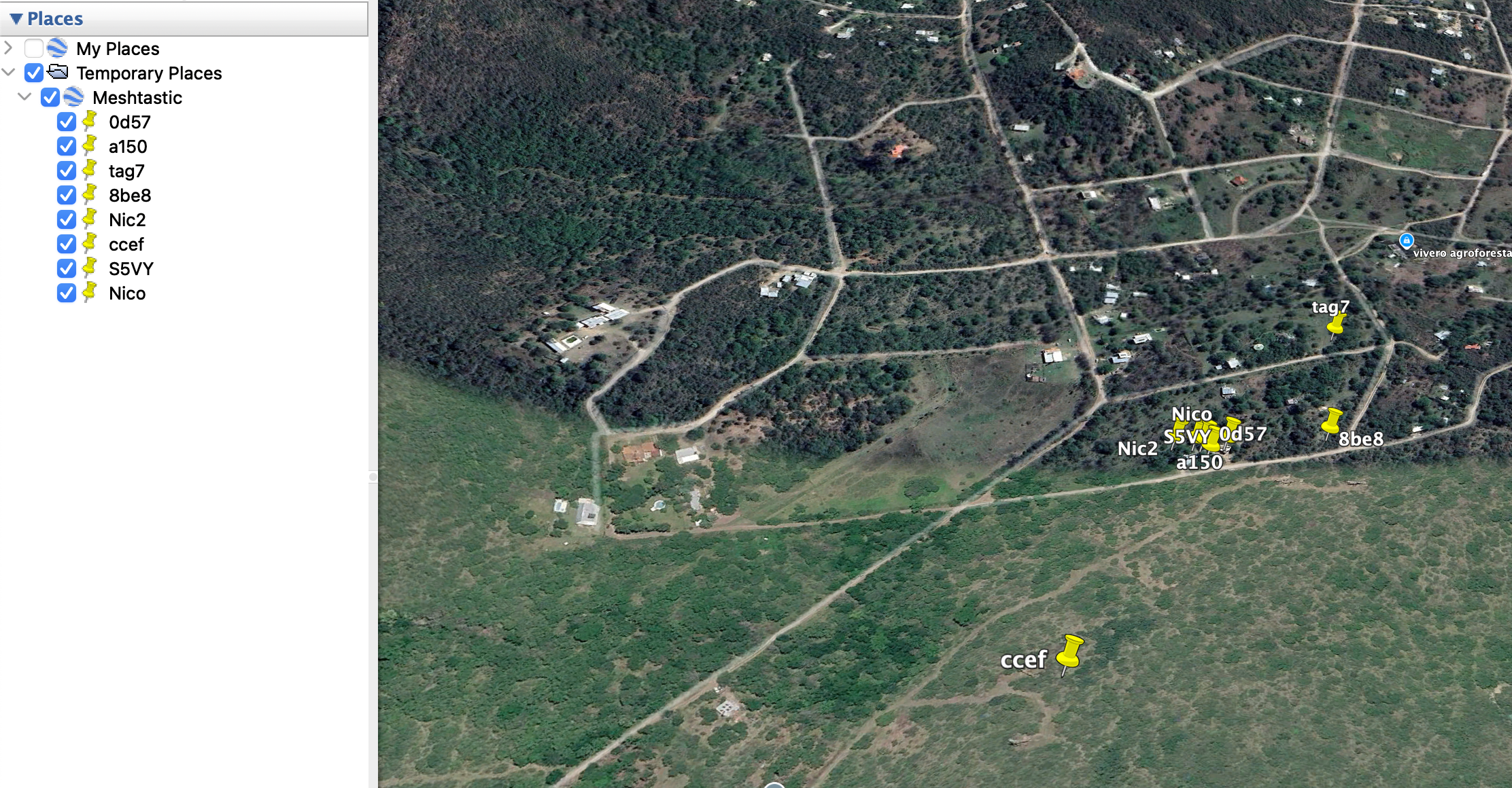
Capture from client.meshtastic.org, and same view from Google Earth
So I used an existing Github project to generate the KML from nodedb (thanks NekoCWD!) and the idea would be to have a KML link created, a web server that runs this command on the backend regularly, and test it out!

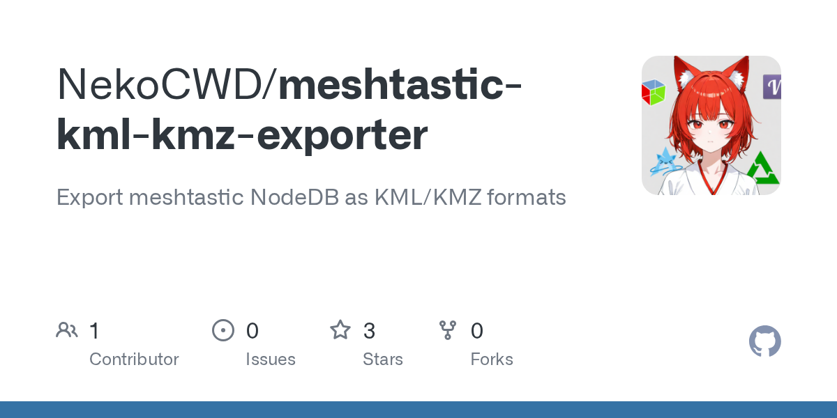
https://github.com/nicopace/meshtastic-kml-kmz-exporter
Here is a project that does the update using Google Drive, so if I would integrate these both, it would work with Google Drive!
https://github.com/AlonBarak-dev/AutoUpdate-.kml-files-using-Google-api-
Member discussion